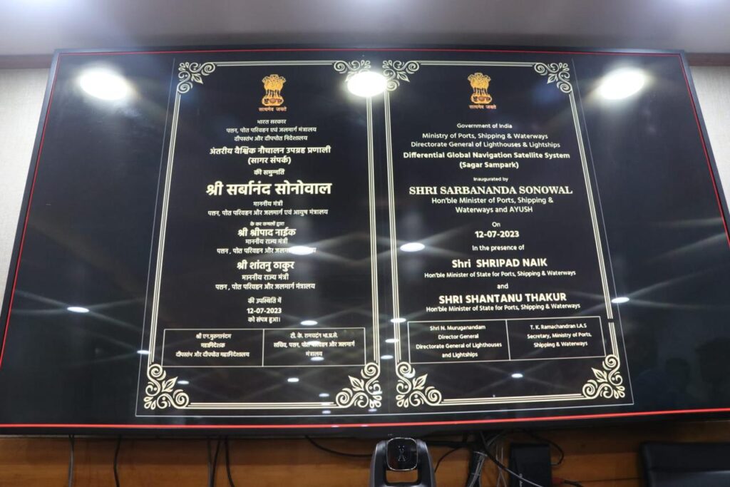
New Delhi: The Union Minister of Ports, Shipping & Waterways and Ayush, Sarbananda Sonowal inaugurated indigenously developed Differential Global Navigation Satellite System (DGNSS) – “Sagar Sampark” – further strengthening digital transformation of Indian maritime sector, as part of Digital India campaign, to bring in efficiency & efficacy of marine operation in the country.
The state of the art DGNS system is a terrestrial based enhancement system which corrects the errors and inaccuracies in the Global Navigation Satellite System (GNSS) allowing for more accurate positioning information.
Speaking on the occasion, the Union Minister, Sarbananda Sonowal said, “Under the dynamic leadership of Prime Minister Narendra Modi ji, we have been making steady progress in the modernisation of the marine sector. Our endeavour to bring in technological interventions to find solutions to marine challenges will bring in efficiency and create efficacy for value creation by the sector. Given the steady rise in the shipping volume, we have given top priority to safety in navigation of ships. The launch ‘Sagar Sampark – Differential Global Navigation Satellite System (DGNSS)’ at 06 locations under DGLL, will definitely enhance the capability of the DGLL in the field of the Radio Aids to Marine Navigation.”
Union Minister of State for Ports, Shipping & Waterways, Shripad Yesso Naik along with Union Minister of State for Ports, Shipping & Waterways, Shantanu Thakur, Secretary of MoPSW, TK Ramachandran, IAS, among other senior officials of the Ministry of Ports, Shipping & Waterways (MoPSW), Directorate General of Lighthouses & Lightships among others were present on the occasion.
The DGNSS service will help mariners in safe navigation and will reduce the risk of collisions, groundings, and accidents in the port and harbour areas. This will lead to safe& efficient movement of vessels. “DGNSS is an important Radio Aid to Navigation towards fulfillment of international obligations of International Maritime Organisation (IMO), Safety of Life at Sea (SOLAS) and International Association of Marine Aids to Navigation and Lighthouse Authorities (IALA),” said Union Minister of State Shripad Y. Naik during the inauguration.
After recapitalization with multiple satellite constellations like GPS and Global Navigation Satellite System (GLONASS), DGNSS further increases the availability and redundancy as per International standards and helps the mariners to improve their positioning within 5 meters.
While speaking on this occasion Union Minister of State, MoPSW, Shantanu Thakur said, “Using this latest technology, the Directorate General of Lighthouses and Lightships will provide accurate information to the ships for safe navigation in Indian waters with Make in India products.” The latest DGNSS system is now able to transmit corrections of GPS and GLONASS.
The DGNSS significantly improves the accuracy of GPS positioning, reducing errors caused by the atmospheric inferences, satellite clock drift and other factors. This is achieved with the help of modern state of art technology receivers and latest software. The error correction accuracy has been improved from 5 to 10 meters to less than 5 meters for 100 Nautical Miles from Indian coastlines.